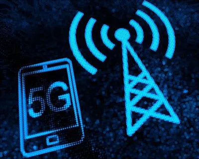
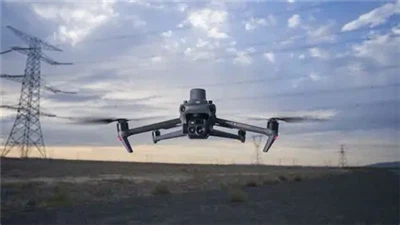
Uav, as a new aircraft, has been widely used in military, civil, entertainment and other fields. But at the same time, drones also bring some security risks and challenges, such as illegal invasion of drones, malicious surveillance, terrorist attacks and so on. How can we effectively defend against and counter these threats? Today, we'll introduce an anti-drone technology: the drone 360-degree satellite navigation decoy system.

Uavs 360 degree satellite navigation decoy system is a kind of security protection system against UAVs invasion. The UAV 360-degree satellite navigation decoy system is used to set decoy path, control strategy, and control deception error according to the basic parameters of the UAV, gps, navigation information sent by the Beidou navigation satellite system, decoy target position, and deceive the navigation system of the UAV by sending false signals or interference signals to mislead or lose direction. Such systems can mimic real navigational signals, guide a drone in the wrong direction, divert it from its intended course, or even force it to turn back or make an emergency landing.
The UAV 360-degree satellite navigation decoy system prevents UAV intrusion by simulating or interfering with the navigation signal of the UAV, guiding it to a safe area or making it lose control. Have the following characteristics:
1. The 360-degree satellite navigation and deception system of UAV can complete the calculation and deduction of GPS, satellite orbit, satellite clock difference, distance delay, ionospheric error, tropospheric error, earth rotation effect, relativistic effect, ground and geodetic parameters of GLONASS constellation; It can generate satellite orbits, navigation messages and observation data of GPS constellations (32), GLONASS constellations (24), Big Dipper and its mixed constellations.
2. The 360-degree satellite navigation decoy system of UAV decoys the satellite navigation system of black-flying UAV by sending decoy interference signals to achieve the purpose of black-flying UAV control.
3, the UAV 360 degree satellite navigation decoy system can be deployed in a specific protection area, the user can reasonably deploy a single or multiple defense base stations according to the size and environment of the required defense area, and build an all-weather UAV no-fly protection area.
4. Compared with anti-UAV systems such as contact capture, suppression of interference and laser shooting, the 360-degree satellite navigation decoy system adopts the decoy working principle to drive away, defend or force land black-flying drones by transmitting low-power decoy signals. It has the unique advantages of small impact on peripheral electronic equipment, no radiation damage to the human body, no accidental injury to personnel during the capture process, no adverse social impact, and continuous defense 24 hours a day.
5, the UAV 360 degree satellite navigation decoy system can be built flexibly and quickly according to the size of the protection area and the comprehensive environment, and the output deception signal strength is controllable, which can effectively ensure that it will not interfere with the normal use of other navigation systems outside the protection area.