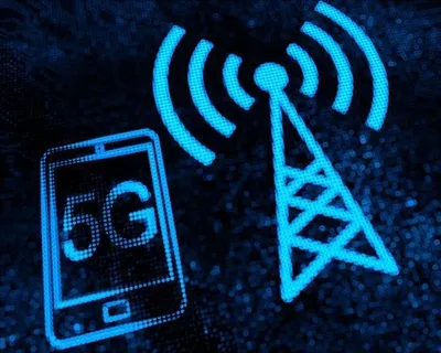
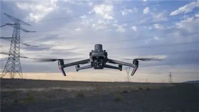
With the increasing number of drones, how can we effectively manage and monitor these drones in flight? Ensuring air safety has become an urgent problem to be solved. Today, let's talk about an emerging technology - the unmanned aerial vehicle (UAV) positioning device. How does it achieve precise positioning of the positions of UAVs and pilots through message parsing and UAV RemoteID broadcasting information, providing strong technical support for the grid-based management of UAVs in urban environments?
The working principle of a drone locator
The core of a drone locator lies in its ability to receive and parse the message information sent by the drone, as well as to receive the unique identifier (RemoteID) of the drone.
These data are usually sent in real time through the video transmission and navigation systems of the unmanned aerial vehicle (UAV). The positioning device decodes these messages through specific algorithms to obtain the precise position of the UAV.
RemoteID is an identification code for drones, similar to the license plate number of a vehicle. It enables ground monitoring systems to track the flight trajectory of each drone. When the drone is flying in the air, it regularly broadcasts messages containing RemoteID and location information, which can be captured and parsed by positioning devices on the ground.

Application scenarios and advantages
In urban environments, the application of drone locators has multiple advantages:
*Safety management: Through real-time monitoring of drones, illegal flight behaviors can be detected and dealt with in a timely manner to ensure airspace safety.
*Emergency response: In the event of an emergency, such as when a drone loses control or crashes, the positioning device can quickly determine the drone's position, providing accurate information for emergency handling.
*Urban planning: The positioning data of unmanned aerial vehicles (UAVs) can be used to analyze the usage of urban airspace, providing data support for urban planning and airspace management.
*Service optimization: For commercial drone services, such as express delivery, positioning devices can help optimize flight routes and enhance service capabilities.
Technical Challenges and Prospects
Although drone locators have brought many conveniences, they also face some technical challenges in practical applications:
*Signal interference: Buildings and other electronic devices in urban environments may interfere with the signals of drones, affecting the accuracy of positioning.
*Privacy protection: The location information of drones involves the personal privacy of the pilots. How to protect user privacy while ensuring safety is a problem that needs to be solved.
*Data processing: A large amount of drone location data requires efficient processing and storage mechanisms to facilitate real-time monitoring and management.
In the future, with the continuous advancement of technology, unmanned aerial vehicle (UAV) positioning devices are expected to overcome these challenges and achieve more intelligent and automated management.
As an innovative technological application, unmanned aerial vehicle (UAV) positioning devices are gradually changing the way we manage urban airspace. It not only enhances the safety of air traffic but also provides technical support for the legal and compliant flight of unmanned aerial vehicles.
With the continuous improvement and in-depth application of related technologies, we have every reason to believe that the urban sky of the future will be more orderly and safe. We are a Chinese manufacturer of drone locators and are constantly striving to build a shield for low altitudes and safeguard the low-altitude safety of cities. We have a variety of drone locators for you to choose from and customize. If you need any, please contact us at info@alasartech-security.com.